Best GPS Unit for Great Lakes Boating
Navigating the expansive, sometimes unpredictable waters of the Great Lakes in Michigan can be a real challenge, even for seasoned anglers. Relying solely on your phone or a basic map might leave you feeling lost or, worse, in a dangerous situation when the weather turns or you need to find that precise fishing hot spot again. This comprehensive guide is here to help you cut through the confusion and choose the best GPS unit to keep you safe, on course, and successful on your Michigan Great Lakes boating adventures.
Why a Dedicated GPS Unit is Crucial on the Great Lakes
When you're out on Lake Michigan, Lake Huron, or even the vast stretches of Lake Superior, the water can look the same in every direction. The horizon disappears into the haze, and suddenly, you realize you need more than just a compass. A dedicated GPS unit isn't just a fancy gadget; it's a fundamental piece of safety and navigational equipment, especially on waters as large and dynamic as the Great Lakes. Trying to get by without one is like driving cross-country without road signs – you might get there, but it's going to be stressful and inefficient.
Navigating Vast and Unpredictable Waters
The sheer size of Michigan's Great Lakes means that land can quickly become a distant memory. A clear, sunny morning can turn into a thick fog bank or a sudden squall in a matter of minutes. Without accurate, real-time positional data, maintaining a course and knowing your precise location relative to hazards or safe harbors becomes incredibly difficult. Imagine being miles offshore when a dense fog rolls in; a reliable GPS unit showing your exact position on a detailed nautical chart becomes your lifeline back to shore. It's not just about getting to your destination; it's about being able to confidently navigate back when conditions change.
These waters are also home to countless submerged hazards, shifting sandbars, and rocky shoals that can be invisible from the surface. A good GPS unit, loaded with up-to-date mapping, can highlight these dangers, helping you steer clear and protect your vessel. This foresight can prevent costly damage to your boat and, more importantly, keep everyone aboard safe. The peace of mind that comes from knowing exactly where you are and what lies beneath the surface is invaluable when exploring these beautiful but powerful bodies of water.
Safety and Emergency Preparedness
In an emergency situation on the Great Lakes, every second counts. Whether it's a mechanical issue, a medical emergency, or simply running low on fuel far from shore, being able to communicate your precise coordinates instantly can dramatically speed up rescue efforts. Most modern GPS units can display your latitude and longitude with incredible accuracy, which is exactly what the Coast Guard or local marine patrol will ask for. Some units even integrate with VHF radios for automatic distress signal transmission, a feature that can literally be a lifesaver.
Beyond direct emergencies, a GPS unit helps with general safety by allowing you to plot safe routes, mark known hazards, and track your path. If you lose visual cues due to darkness or weather, the unit becomes your guide. You can set anchor alarms that will alert you if your boat drifts outside a safe perimeter, a critical feature when overnighting in an unfamiliar cove. These features aren't just for dire situations; they contribute to a safer, more relaxed experience on the water, allowing you to focus on the joy of Michigan Fishing Regulations Every Angler Should Know rather than constantly worrying about your position.
Enhancing Your Fishing Success
For anglers, a GPS unit is more than just a navigation tool; it's a strategic weapon in the pursuit of fish. The Great Lakes hold incredible fishing opportunities, but finding those elusive walleye, salmon, or lake trout often comes down to knowing specific structures, depth changes, or historical hot spots. A GPS unit allows you to mark waypoints for successful fishing locations, whether it's a submerged hump, a rock pile, or a specific depth contour where you consistently find fish. You can then return to these spots with pinpoint accuracy, time and again.
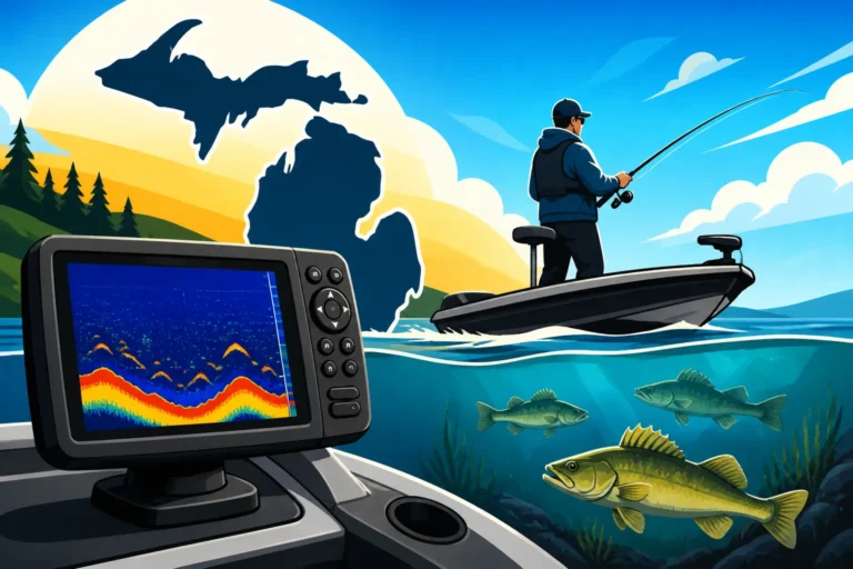
Furthermore, many units offer advanced features like track logging, which records your path. This is invaluable for trolling specific patterns or revisiting successful drifts. You can analyze your tracks against catch data to refine your techniques and identify productive areas. Combined with sonar, a GPS unit transforms into a powerful fish-finding system, allowing you to see fish, mark their location, and then navigate directly back to them. Whether you're chasing Chinook Salmon in Michigan's Great Lakes or Michigan's Best Walleye Waters, the ability to precisely locate and revisit productive areas is a game-changer for any serious angler.
Key Features to Look for in a Great Lakes GPS Unit
Choosing the right GPS unit for Great Lakes boating can feel overwhelming with all the options out there. However, by focusing on a few essential features, you can narrow down your choices and find a unit that perfectly suits your needs and the unique demands of these vast waters. It’s not about having every bell and whistle, but rather having the right bells and whistles that genuinely enhance your safety and fishing experience.
Chartplotter Capabilities and Mapping
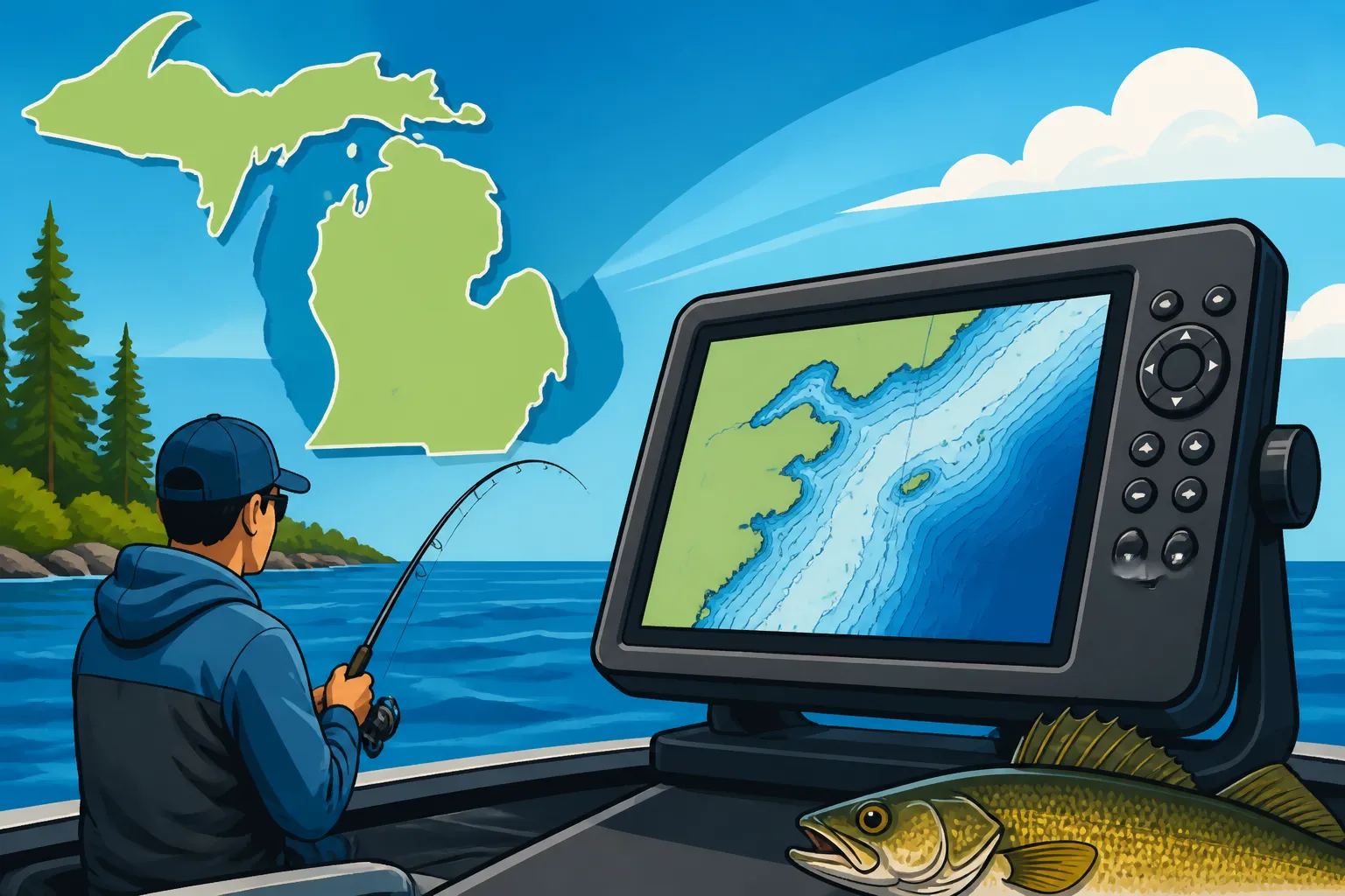
This is arguably the most critical feature for Great Lakes use. A GPS chartplotter integrates GPS technology with electronic nautical charts. Look for units that come pre-loaded with detailed Great Lakes mapping or offer easy ways to download or purchase high-definition charts. These charts should include depth contours, navigational aids (buoys, lighthouses), shorelines, marinas, and critical underwater features. High-resolution bathymetric charts are particularly useful for anglers, as they reveal subtle underwater structures that hold fish, like drop-offs, reefs, and humps.
Many units allow for map customization, letting you highlight specific depth ranges, add custom waypoints, and overlay different data layers. Some brands offer proprietary mapping that may have more detail for certain areas, while others rely on widely available charts like Navionics or C-MAP. Ensure the unit you choose has up-to-date mapping data for the specific areas of the Great Lakes you plan to fish or navigate. Having a unit with a robust, detailed map is like having an expert local guide always onboard with you, silently pointing out the best fishing spots and the safest routes. You might browse options and compare map details at stores like Bass Pro Shops or check online reviews on platforms like Amazon for different chart brands.
Display Size and Readability
Given the vastness of the Great Lakes and the potential for bright sunshine or choppy conditions, the display of your GPS unit needs to be clear and easy to read. Screen sizes can range from small handheld units (around 3-5 inches) up to large multifunction displays (12 inches or more). For primary navigation on a boat, aim for at least a 7-inch screen, though 9-12 inches offers a significantly better viewing experience, especially when splitting the screen to display multiple data sources like chart and sonar.
Beyond physical size, consider resolution and brightness. Higher resolution means sharper images and more detail. A bright, anti-glare screen is absolutely essential to combat direct sunlight and reflections off the water, ensuring you can always see your critical information without strain. Touchscreens are popular for ease of use, but ensure they are responsive even with wet hands or gloves. Button-controlled units might be preferred by some for their tactile feedback, especially in rough conditions. Testing the display in various lighting conditions, if possible, is a great way to gauge its readability before committing.
Durability and Waterproofing
The marine environment is harsh, and the Great Lakes are no exception. Your GPS unit will be exposed to spray, rain, humidity, and possibly even direct submersion. Therefore, robust durability and a high level of waterproofing are non-negotiable. Look for an IPX rating; an IPX7 rating means the unit can withstand submersion in up to 1 meter of water for 30 minutes, which is generally considered the minimum for marine electronics. Even better are units with an IPX8 rating.
The unit should also be constructed from marine-grade materials that can withstand UV exposure, saltwater (if you're on the Great Lakes, you'll still get plenty of spray and humidity that can cause corrosion), and vibration from engine use. Connectors should be sealed and robust. A unit that feels solid and well-built will give you confidence that it can handle the rigors of Great Lakes boating, whether you're navigating Michigan's Great Lakes Fishing Guide or simply cruising.
GPS Antenna and Accuracy
The core of any GPS unit is its antenna, which receives signals from satellites. Modern units typically use highly sensitive internal GPS antennas, often with multiple constellations (like GPS and GLONASS) for enhanced accuracy. Look for features like WAAS (Wide Area Augmentation System) or EGNOS (European Geostationary Navigation Overlay Service) capability. These systems provide correctional signals that dramatically improve positional accuracy, often down to a few meters, which is crucial for precise navigation and marking small fishing structures.
While internal antennas are usually sufficient for open-air mounting, if your helm is enclosed or you experience signal interference, an external GPS antenna might be necessary. Some units offer the option to connect an external antenna for optimal signal reception. Faster update rates (e.g., 10 Hz, meaning 10 updates per second) also contribute to smoother, more accurate tracking, particularly when moving at higher speeds. This kind of precision ensures you can accurately follow a specific contour or return to a tiny fishing spot.
NMEA 2000/0183 Connectivity
Think of NMEA 2000 (or the older NMEA 0183) as the networking system for your boat's electronics. A GPS unit with NMEA 2000 connectivity can "talk" to other devices on your boat, sharing data seamlessly. This means your chartplotter can display engine data, fuel levels, water temperature from other sensors, or even communicate with your auto-pilot or VHF radio. This integration creates a more comprehensive and efficient helm, putting all your critical information in one place.
For example, your GPS could send your position to a compatible VHF radio for a quick distress call, or your depth sounder could feed real-time depth data directly onto your chartplotter display. This level of integration simplifies your setup, reduces clutter, and ensures all your systems are working together. If you're planning on building a fully networked boat, or already have some compatible electronics, NMEA 2000 is a feature you absolutely shouldn't overlook. You'll find many units offering this capability, especially from leading brands.
Types of GPS Units Suitable for Great Lakes Boating
When it comes to choosing a GPS unit for Great Lakes adventures, you'll encounter a few main categories, each with its own set of advantages and ideal uses. Understanding these distinctions will help you decide which type best fits your boating style and budget. Whether you're a casual weekend warrior or a dedicated tournament angler, there’s a unit out there designed for your specific needs.
Standalone GPS Chartplotters
These are dedicated units whose primary function is navigation and chart display. They are typically straightforward, focusing on core GPS capabilities, mapping, and sometimes basic sonar functions. They usually feature a single screen that can be split to show different views, like a chart and a small sonar window. Their strength lies in their simplicity and often a lower price point compared to more complex systems.
Standalone chartplotters are an excellent choice for boaters who primarily need reliable navigation, a clear view of their charts, and the ability to mark waypoints and routes. They are perfect for smaller boats or for those who prefer a less complicated setup, yet still demand accuracy and durability for Great Lakes conditions. Many reputable brands offer robust standalone units that perform exceptionally well. You might find a great range of these units, from entry-level to advanced, at retailers that specialize in marine electronics.
Multifunction Displays (MFDs)
Multifunction Displays (MFDs) are the powerhouses of marine electronics, integrating multiple systems into a single, often large, touchscreen unit. Beyond GPS and chartplotting, MFDs can act as command centers for radar, advanced sonar (including side-imaging and down-imaging), engine monitoring, autopilot control, and even entertainment systems. They allow for highly customizable screen layouts, letting you view charts, sonar, radar, and other data simultaneously on different parts of the screen.
MFDs are ideal for larger boats or serious anglers who want a fully integrated and advanced electronics package. While they come with a higher price tag and a steeper learning curve, their comprehensive capabilities offer unparalleled control and situational awareness on the Great Lakes. The ability to overlay radar on your chart or precisely target fish with advanced sonar while navigating makes them invaluable for complex fishing strategies or offshore excursions. These units are often found on serious fishing rigs targeting Michigan Salmon Species Explained or those doing extensive Trolling for Chinook Salmon on Lake Michigan.
Handheld GPS Units (as backup/secondary)
While not suitable as a primary navigation system for a boat on the Great Lakes, a handheld GPS unit makes for an excellent backup. These compact, battery-powered devices are incredibly portable and often highly waterproof. They can provide essential navigational data – your current position, speed, and track – even if your boat's main power fails or your primary electronics experience a malfunction.
Think of a handheld unit as your personal emergency beacon and a reliable way to get your coordinates to the Coast Guard if all else fails. They are also useful for marking specific shore fishing spots or for land-based navigation around marinas or campgrounds. Many anglers carry one in their grab bag as a prudent safety measure, ensuring they always have a way to know their location, no matter what happens to their main system. They're also great for those weekend trips when you're just looking for Best Fishing Spots Near Traverse City, Michigan from shore.
Considerations for Installation and Power
Once you've picked out the perfect GPS unit, the next step is getting it properly installed and powered on your boat. This isn't just a matter of convenience; proper installation ensures optimal performance and reliability, especially when you're dealing with the dynamic environment of the Great Lakes. A poorly installed unit can lead to anything from inaccurate readings to complete system failure when you need it most.
Mounting Options
The way you mount your GPS unit significantly impacts its usability and safety. There are generally three main mounting styles:
- Flush Mount: This is where the unit is integrated directly into your boat's console, creating a clean, professional, and often more protected installation. It looks sleek and reduces clutter, but it requires cutting a precise hole in your dash and is a more permanent solution. It's often preferred for larger MFDs.
- Gimbal Mount (Bracket Mount): This is a common and versatile option where the unit is attached to an adjustable bracket. It allows you to angle the screen for optimal viewing from different positions in the boat and can be easily installed on top of the dash. This is popular for standalone chartplotters and offers more flexibility if you decide to upgrade or remove the unit later. However, it can take up more space and be more exposed to the elements.
- Portable Solutions: For smaller boats like kayaks or inflatables, or for those who want to easily move their unit between vessels, portable mounts with suction cups or clamps are available. These are convenient but generally less secure and often limited to smaller, lighter units. While not ideal for extensive Great Lakes cruising, they can work for specific applications. For kayak anglers exploring areas like Lake St. Clair Smallmouth Bass Fishing, a portable mount can be very effective.
Regardless of the method, ensure the mount is robust enough to handle vibrations and choppy conditions without jostling the unit. Also, consider accessibility for wiring and future maintenance.
Powering Your Unit
A reliable power source is paramount for any marine electronic device. Most boat-mounted GPS units run on your boat's 12V electrical system. When wiring, always use marine-grade tinned copper wire, which is more resistant to corrosion, and ensure proper fusing to protect the unit from power surges. Connect directly to the battery or to a dedicated fuse panel to avoid interference from other electronics.
For prolonged use, especially with larger MFDs, having a well-maintained battery system is critical. Consider a dedicated house battery if you have many electronics, to prevent draining your starting battery. Also, think about redundancy: what happens if your main power fails? This is where a fully charged handheld GPS unit, or even a small, independent power bank for your primary unit (if it supports external power), can be a lifesaver. Ensuring your power connections are secure and corrosion-free is vital for consistent performance out on the water. Proper power management is just as important as the unit itself when you're miles offshore on Lake Huron.
| Feature Category | Standalone Chartplotter | Multifunction Display (MFD) | Handheld GPS Unit (Backup) |
|---|---|---|---|
| Primary Use | Dedicated navigation, basic sonar | Integrated navigation, advanced sonar, radar, engine data | Emergency backup, secondary navigation, shore fishing |
| Screen Size (Avg.) | 5-9 inches | 9-16+ inches | 3-5 inches |
| Mapping Detail | Excellent for navigation, good for basic fishing | Exceptional, highly customizable, advanced bathymetry | Basic, often limited detail |
| Sonar Integration | Basic traditional sonar, sometimes down/side imaging | Highly advanced (CHIRP, StructureScan, LiveScope, etc.) | None (some may have basic depth finder) |
| Connectivity | NMEA 0183/2000 (often limited) | Full NMEA 2000 network, Wi-Fi, Bluetooth | USB for data transfer, no boat network integration |
| Complexity | Moderate, user-friendly | High, requires more setup and learning | Low, very simple operation |
| Durability/Waterproof | High (IPX7/IPX8) | High (IPX7/IPX8) | Very High (often floats, IPX7/IPX8) |
| Power Source | Boat's 12V system | Boat's 12V system | Internal batteries (AA/AAA/rechargeable) |
| Key Advantage | Reliable core navigation, good value | All-in-one advanced system, superior situational awareness | Portability, battery backup, personal safety |
Choosing the best GPS unit for your Great Lakes boating and fishing adventures comes down to balancing your needs for safety, navigational accuracy, and fishing success with your budget and technical comfort level. From robust chartplotters that get you there and back safely, to advanced multifunction displays that give you an unparalleled view of the underwater world and all your boat's systems, there's a perfect match for every Michigan angler. Remember, a reliable GPS isn't just a convenience; it's an essential tool for maximizing your enjoyment and ensuring your safety on Michigan's magnificent waters.
Disclaimer
This article is for general informational purposes only and does not constitute professional advice. Laws, prices and regulations vary by location and change over time. Consult a qualified professional for guidance on your specific situation.